Travel Guide of Whataroa in New Zealand by Influencers and Travelers
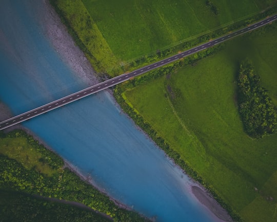
Whataroa is a small township in southern Westland on the West Coast of New Zealand's South Island. It is located on the western bank of the Whataroa River, with the village of Te Taho on the other side.
The Best Things to Do and Visit in Whataroa
TRAVELERS TOP 10 :
- Okarito
- Lake Mapourika
- Westland Tai Poutini National Park
- Southern Alps
- Franz Josef Glacier
- Fox Glacier
- Aoraki/Mount Cook National Park
- Lake Matheson
- Mount Cook
- Hooker Lake
1 - Okarito
13 km away
Ōkārito Lagoon is a coastal lagoon on the West Coast of New Zealand's South Island. It is located 130 kilometres south of Hokitika, and covers an area of about 3,240 hectares, making it the largest unmodified coastal wetland in New Zealand.
Learn more Book this experience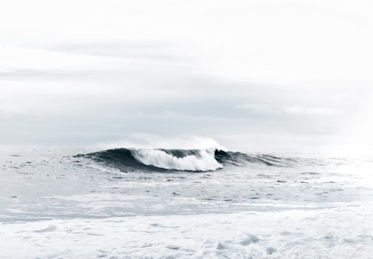

2 - Lake Mapourika
14 km away
Lake Mapourika is located on the West Coast of New Zealand's South Island. It lies north of Franz Josef Glacier, and the out-flowing Ōkārito River drains it into the Ōkārito Lagoon.
View on Google Maps Book this experience
3 - Westland Tai Poutini National Park
20 km away
Westland Tai Poutini National Park is located on the western coast of New Zealand's South Island. Established in 1960, the centenary of the European settlement of Westland District, it covers 1,320 km², and extends from the highest peaks of the Southern Alps to a wild and remote coastline.
Learn more Book this experience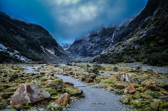

4 - Southern Alps
25 km away
The Southern Alps is a mountain range extending along much of the length of New Zealand's South Island, reaching its greatest elevations near the range's western side.
Learn more Book this experience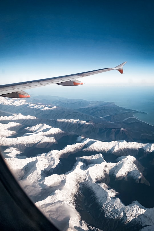
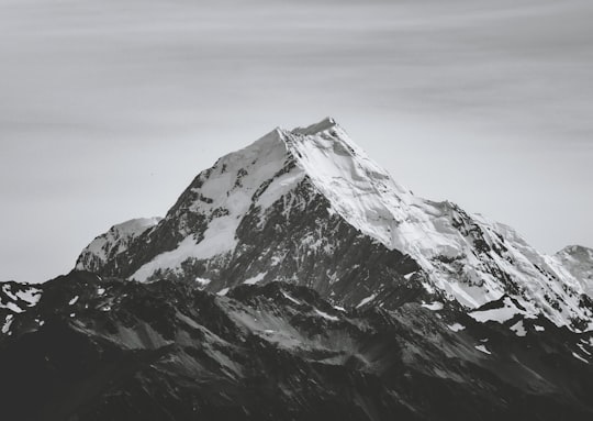
5 - Franz Josef Glacier
26 km away
Franz Josef Glacier / Kā Roimata o Hine Hukatere is a 12 km long temperate maritime glacier in Westland Tai Poutini National Park on the West Coast of New Zealand's South Island.
Learn more Book this experience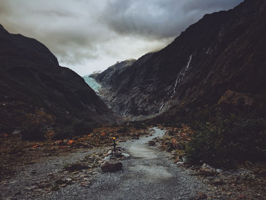

6 - Fox Glacier
33 km away
Fox Glacier, called Weheka until the 1940s, is a village on the West Coast of the South Island of New Zealand. The village is close to the eponymous Fox Glacier / Te Moeka o Tuawe.
Learn more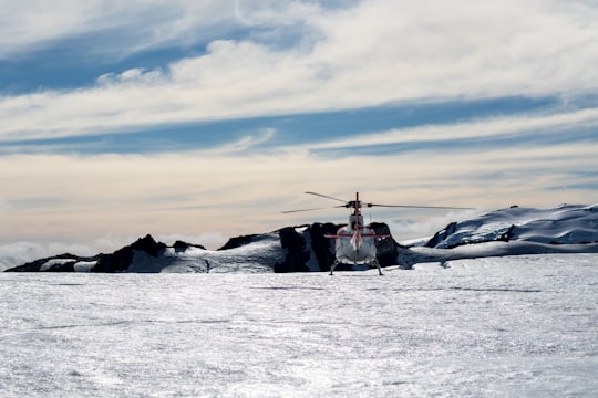
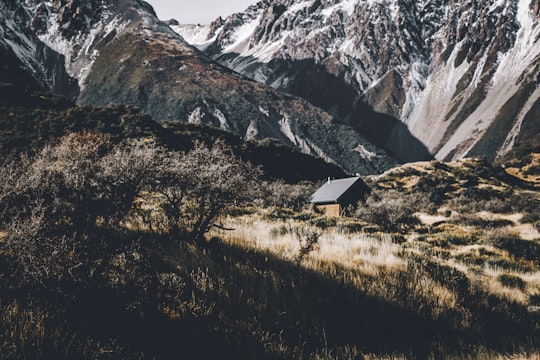
7 - Aoraki/Mount Cook National Park
36 km away
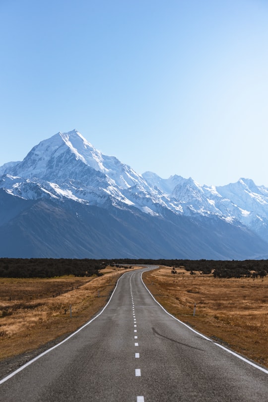
Aoraki/Mount Cook National Park is in the South Island of New Zealand, near the town of Twizel. Aoraki / Mount Cook, New Zealand's highest mountain, and Aoraki/Mount Cook Village lie within the park.
Learn more Book this experience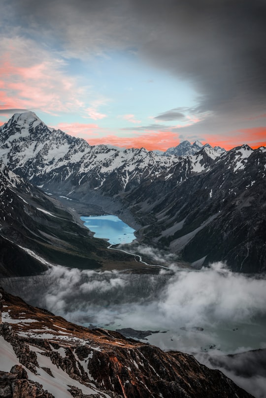
8 - Lake Matheson
39 km away
Lake Matheson is a small glacial lake in South Westland, New Zealand, near the township of Fox Glacier. It was a traditional mahinga kai for local Māori.
Learn more Book this experience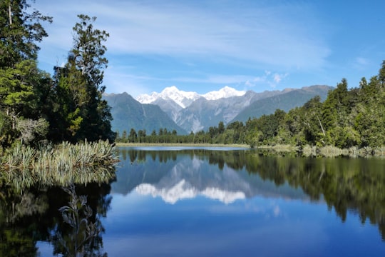
9 - Mount Cook
40 km away
Aoraki / Mount Cook is the highest mountain in New Zealand. Its height, as of 2014, is listed as 3,724 metres. It lies in the Southern Alps, the mountain range which runs the length of the South Island.
Learn more Book this experience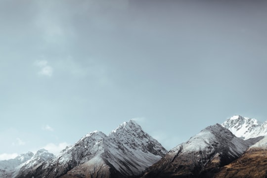
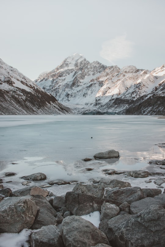
10 - Hooker Lake
50 km away
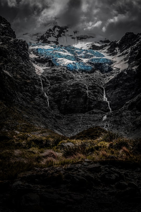
Hooker Lake is a proglacial lake that started to form in the late 1970s by the recent retreat of the Hooker Glacier. It is in the Hooker Valley, in the Aoraki / Mount Cook National Park in New Zealand's South Island, just south of Aoraki / Mount Cook.
Learn more Book this experience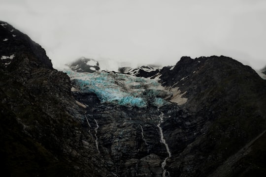
Disover the best Instagram Spots around Whataroa here
Book Tours and Activities in Whataroa
Discover the best tours and activities around Whataroa, New Zealand and book your travel experience today with our booking partners
Pictures and Stories of Whataroa from Influencers
Picture from Daniel Connellan who have traveled to Whataroa
Plan your trip in Whataroa with AI 🤖 🗺
Roadtrips.ai is a AI powered trip planner that you can use to generate a customized trip itinerary for any destination in New Zealand in just one clickJust write your activities preferences, budget and number of days travelling and our artificial intelligence will do the rest for you
👉 Use the AI Trip Planner
Why should you visit Whataroa ?
Travel to Whataroa if you like:
🏞️ WaterwayWhere to Stay in Whataroa
Discover the best hotels around Whataroa, New Zealand and book your stay today with our booking partner booking.com
More Travel spots to explore around Whataroa
Click on the pictures to learn more about the places and to get directions
Discover more travel spots to explore around Whataroa
🌲 Nature reserve spots 🏞️ Waterway spotsTravel map of Whataroa
Explore popular touristic places around Whataroa
